
Here is a catalogue of subduction zones worldwide that have been studied using an imaging technique called the 2D Generalized Radon Transform. This technique picks up sharp changes in the propagation speed of teleseismic waves (generated by earthquakes) as they travel through the earth. In the seismic profiles below, the dipping bands of red/blue show the subducting slab as it plunges into the mantle. Subduction zones worldwide exhibit diverse geometries ranging from extremely steep subduction (e.g., Nicaragua and Costa Rica, where the subducting slab is nearly vertical) to rather flat subduction (e.g., Mexico).
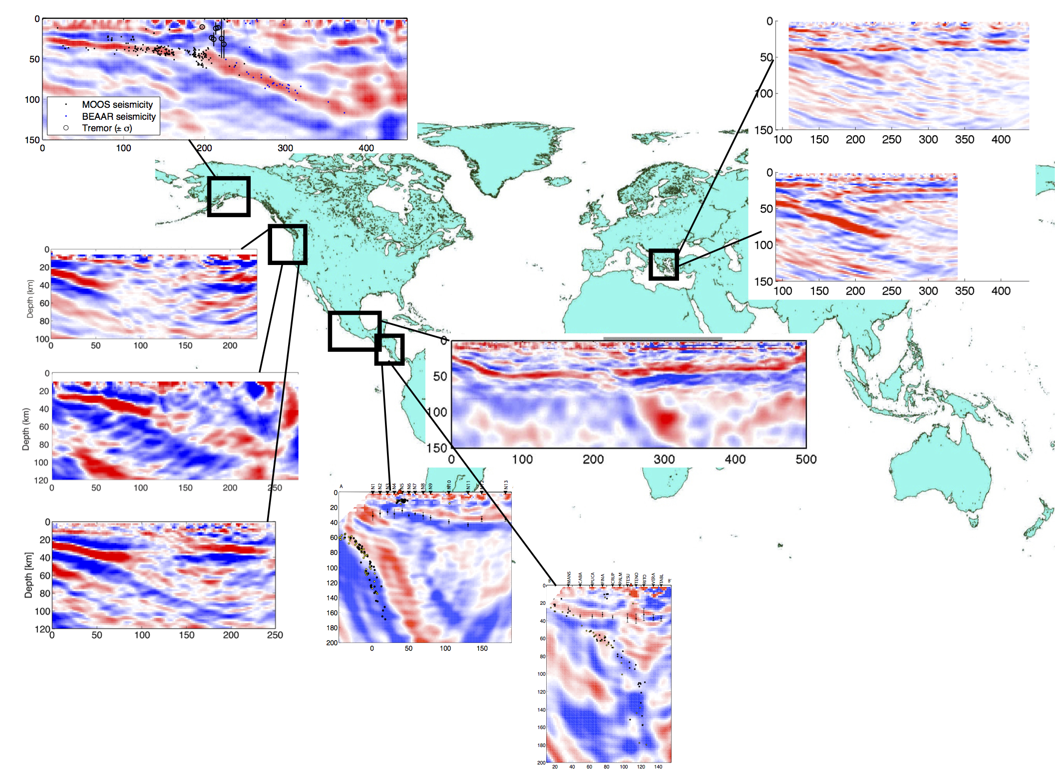
Counter-clockwise from top left:
- Alaska: Kim et al., 2014
- Pacific Northwest: Nicholson et al., 2005; McGary et al., 2014 ; Rondenay et al., 2001
- Nicaragua and Costa Rica: MacKenzie et al., 2010
- Mexico: Kim et al., 2012
- Greece: Pearce et al., 2012